Days one to four · 58° south · the Drake Passage
First, the crossing.
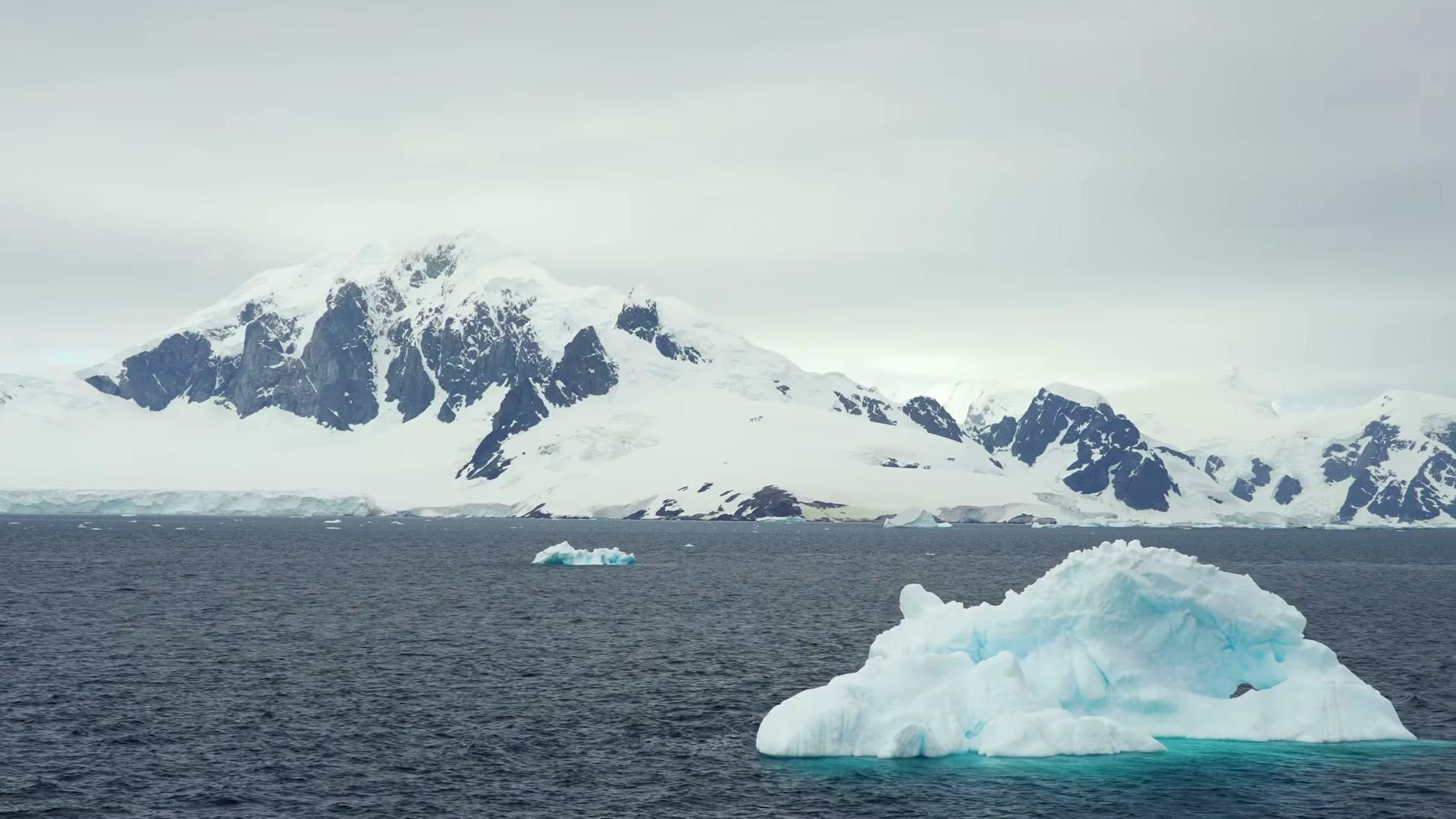
Open ocean, all the way to the ice. Set the sea, and listen to what it might be.
Some of what you find along the way can be kept for your plan.
Three or four days under sail and engine, watch by watch. Some would rather fly the crossing and step aboard in the quiet. We will talk through which suits you.
Day six · 64° south · the Gerlache Strait
You hear them before you see them.
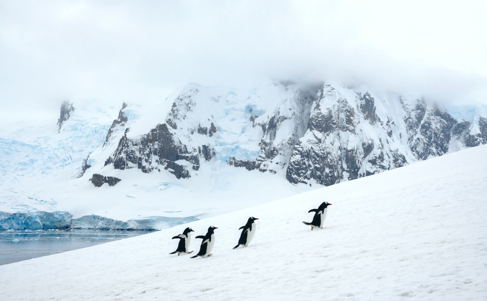
Come in closer, or let the wind get up, and hear how the colony carries across the water. The penguins are gentoos, climbing to their nests above the beach.
Day eight · 64°50′ south · Paradise Harbour
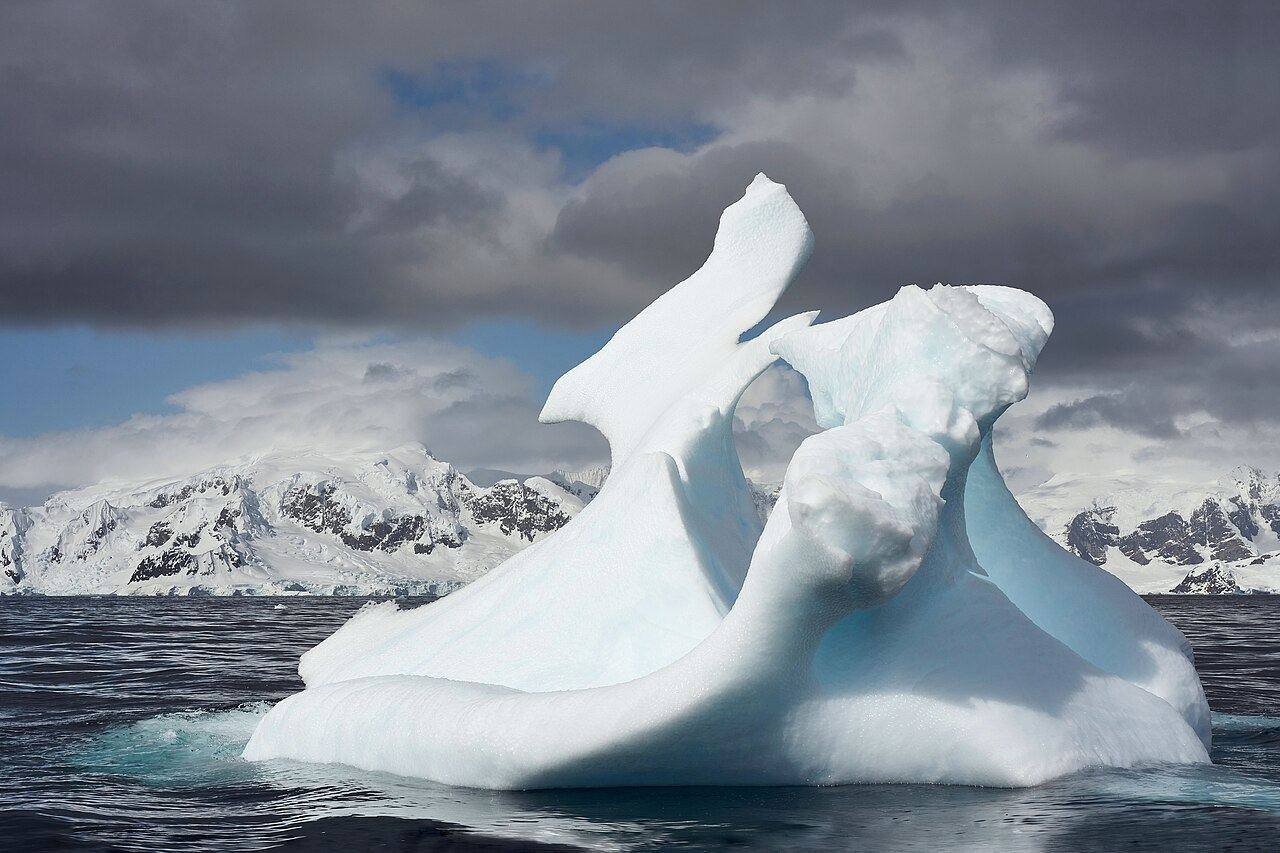
Half of this place is under the water.
Lift the waterline and go under it, as far down as the light reaches.
Day ten · 65° south · the Lemaire Channel
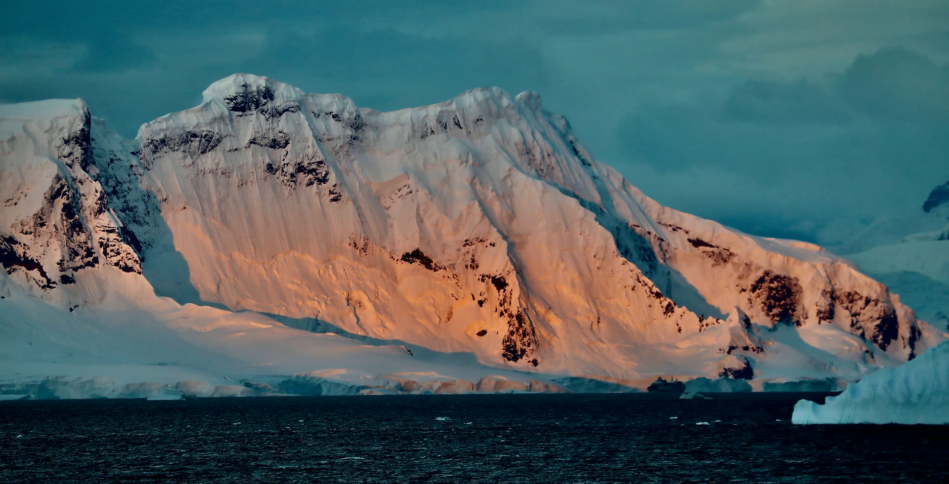
Turn the clock. The sun barely leaves.
Choose your month, and you can keep it for your plan.
One night in the Lemaire Channel, at the hour you choose.
Day twelve · 66°33′ south · the Circle, ice allowing
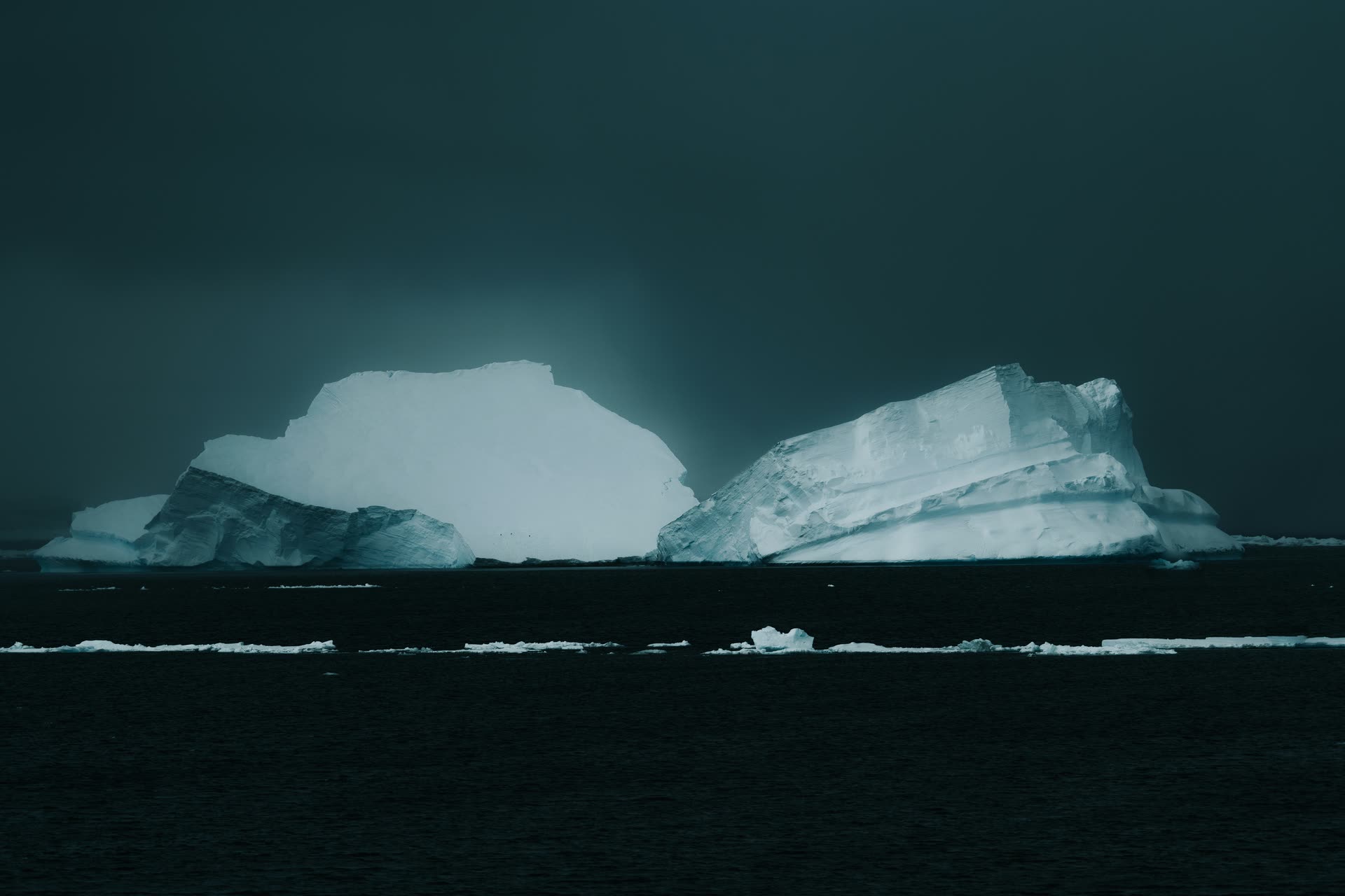
The ice decides how far south you go.
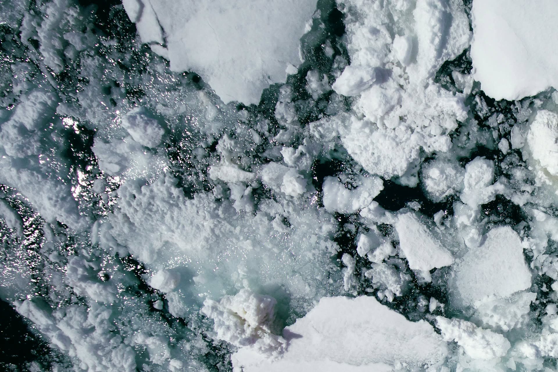
Open water or close pack. Set the ice, and see which way the day turns.